

Liability
Hiking, even along the more accessible sections of the Gilded Bronzes Way, involves inherent risks that every hiker is expected to knowingly accept. It is therefore recommended to approach the route with adequate physical preparation, proper equipment, and up-to-date information on trail conditions. Do not hesitate to turn back if you encounter sections that you deem too difficult for your abilities.
The trail maps, both paper and digital, are intended as tools for orientation and regional discovery. However, the creators cannot be held responsible for any accidents or inconveniences that may occur along the route.


Paper map
A fold-out paper map in A3 format on a scale of 1:50,000 is available.
You can pick it up at Pergola (we'll let you know where) or download it from this page in pdf format and print it.
Print possibly in color in A3 format without adapting the size to the sheet, but keeping the original size, otherwise the scale will no longer be the one indicated!
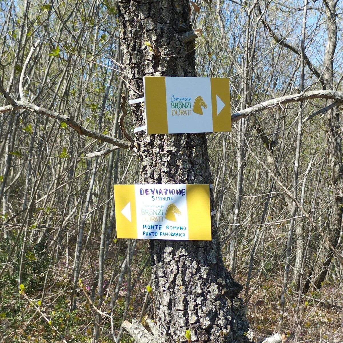
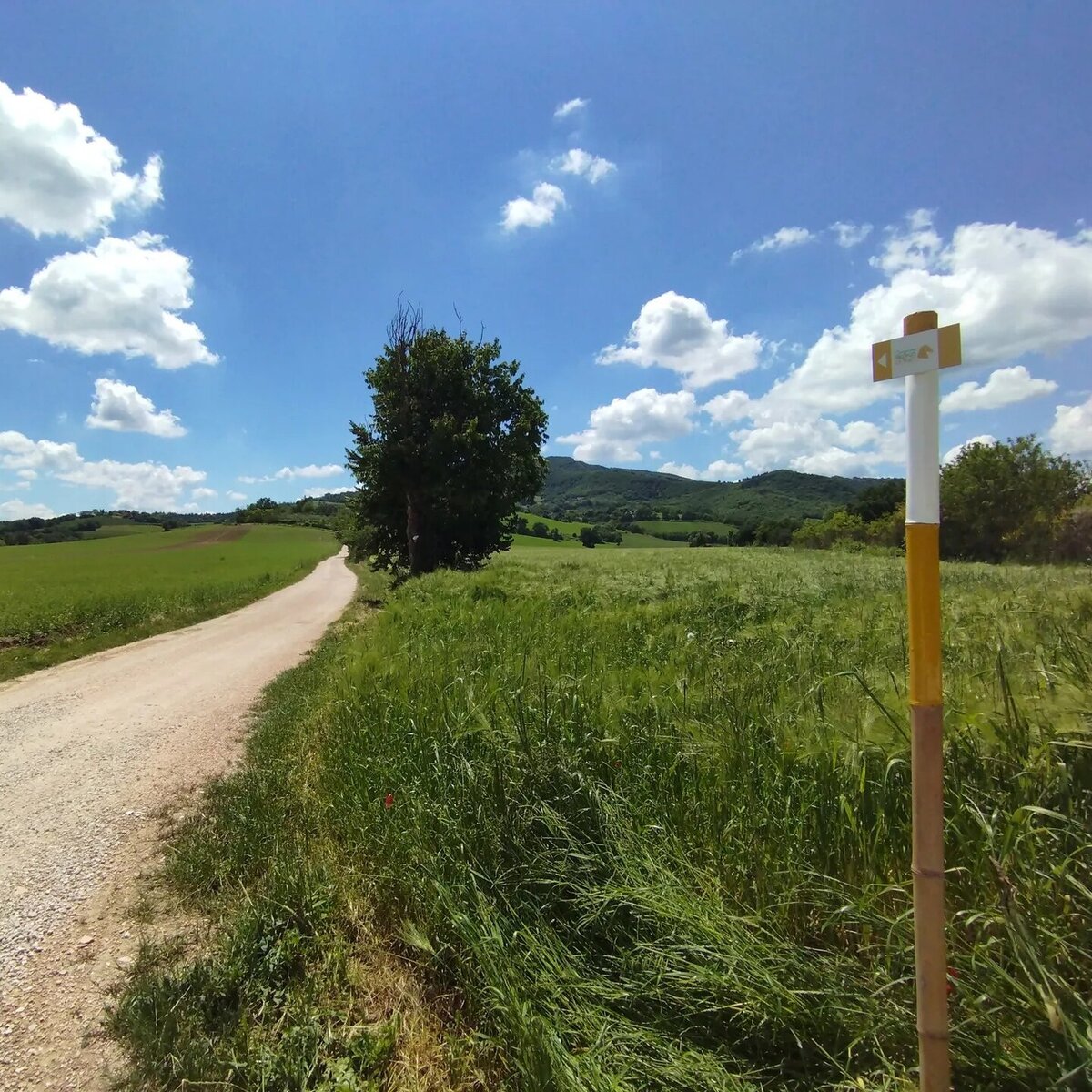
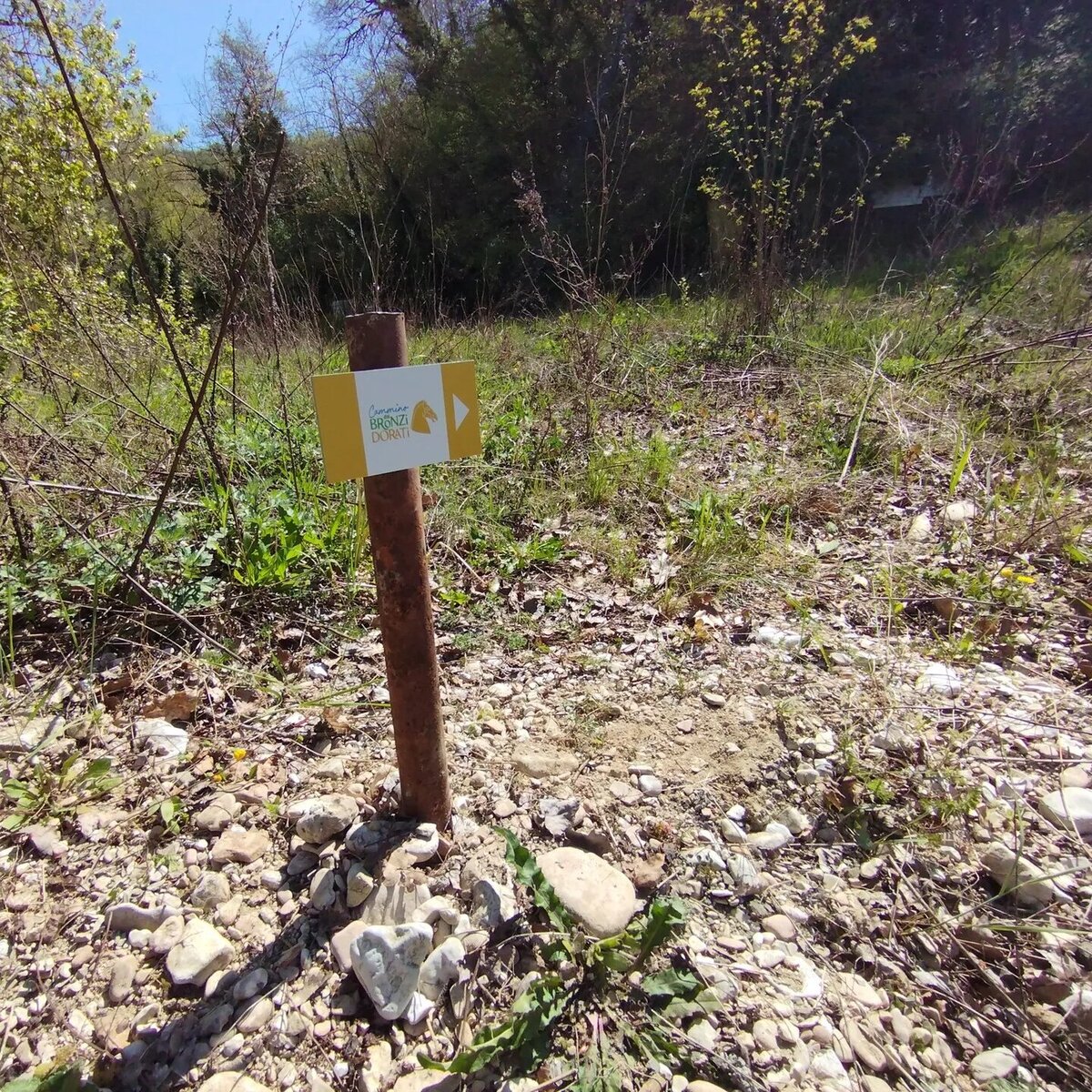
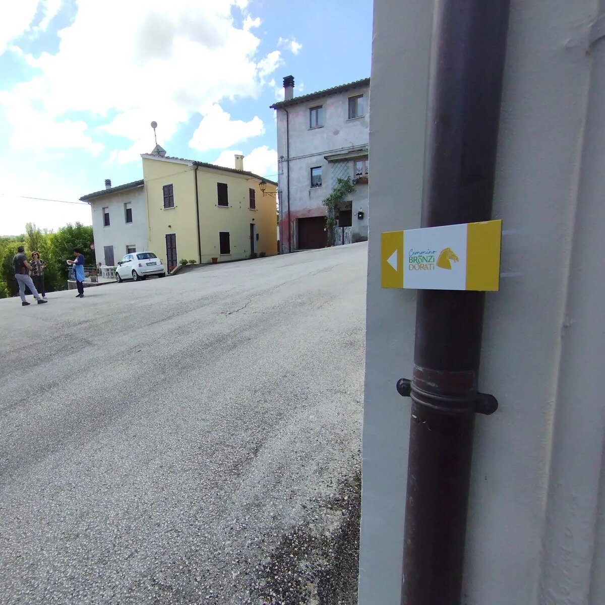
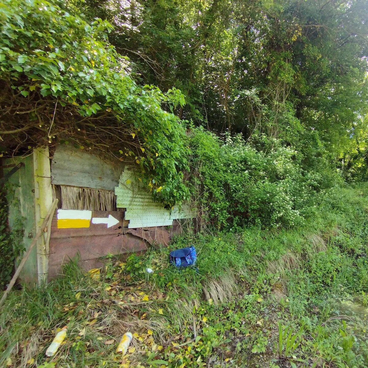
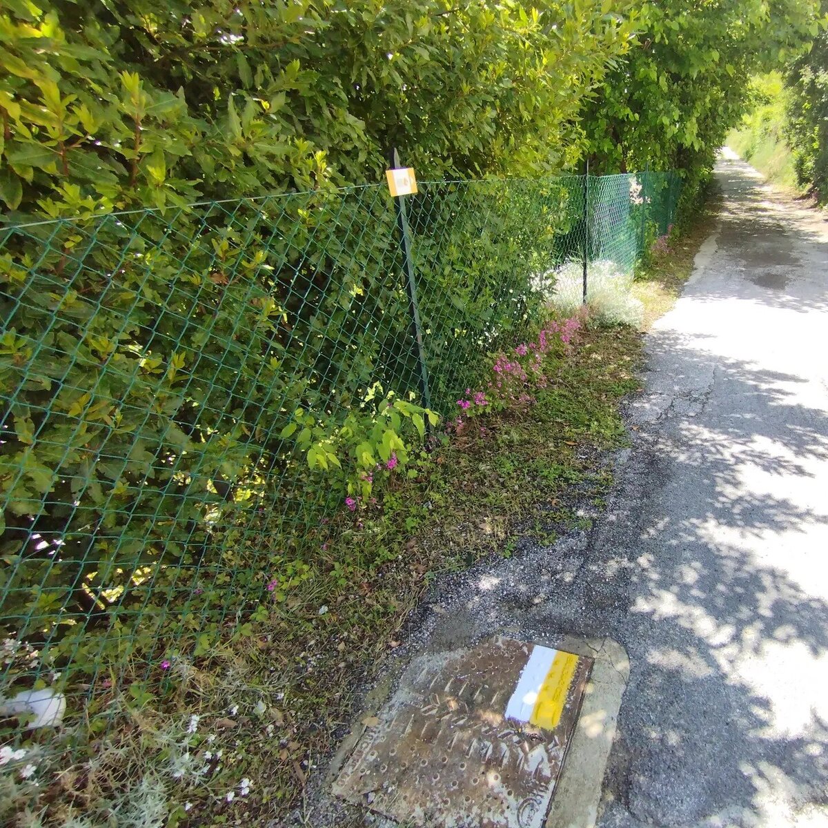
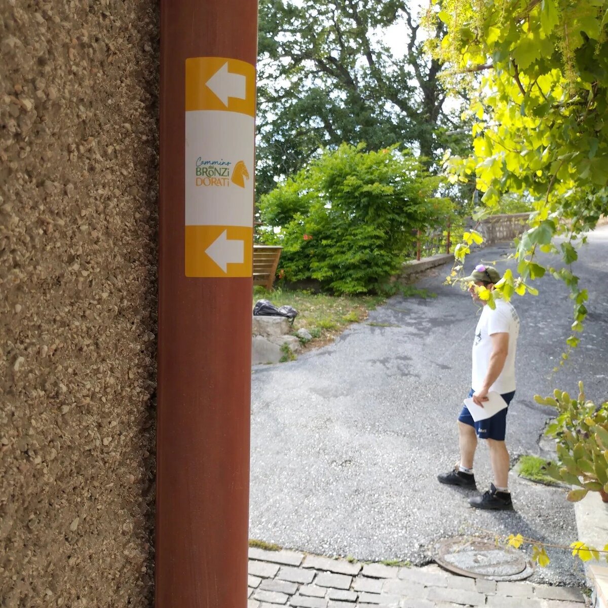
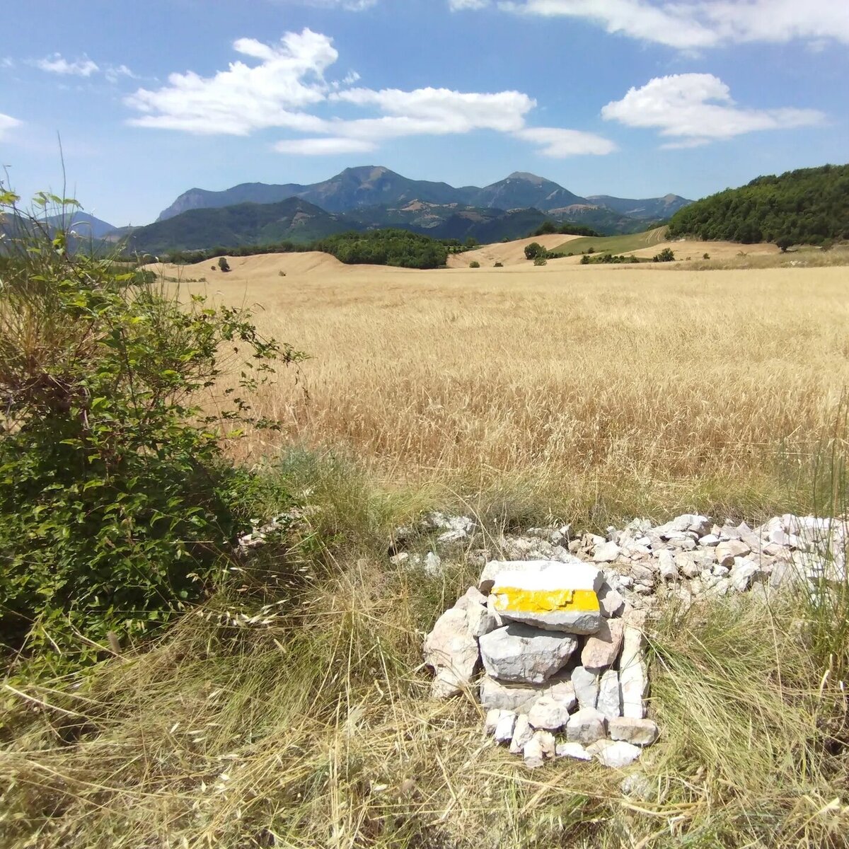
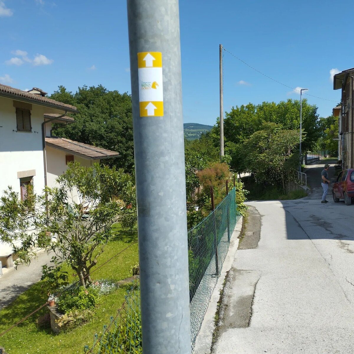
Segnaletica
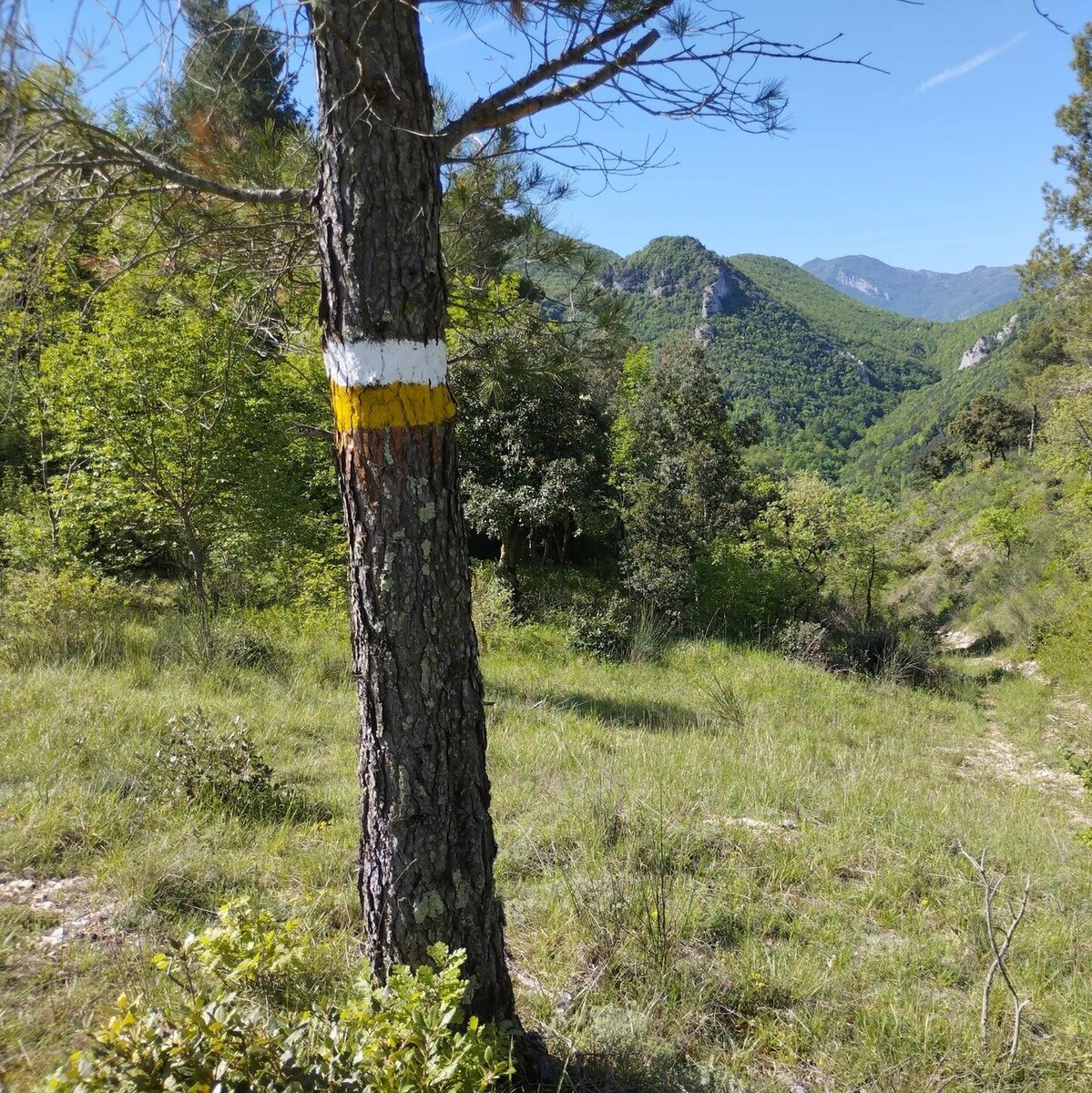
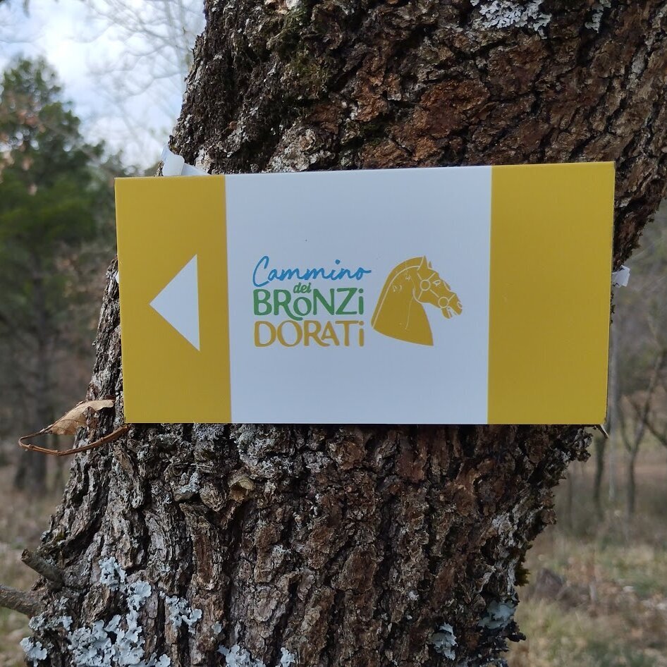
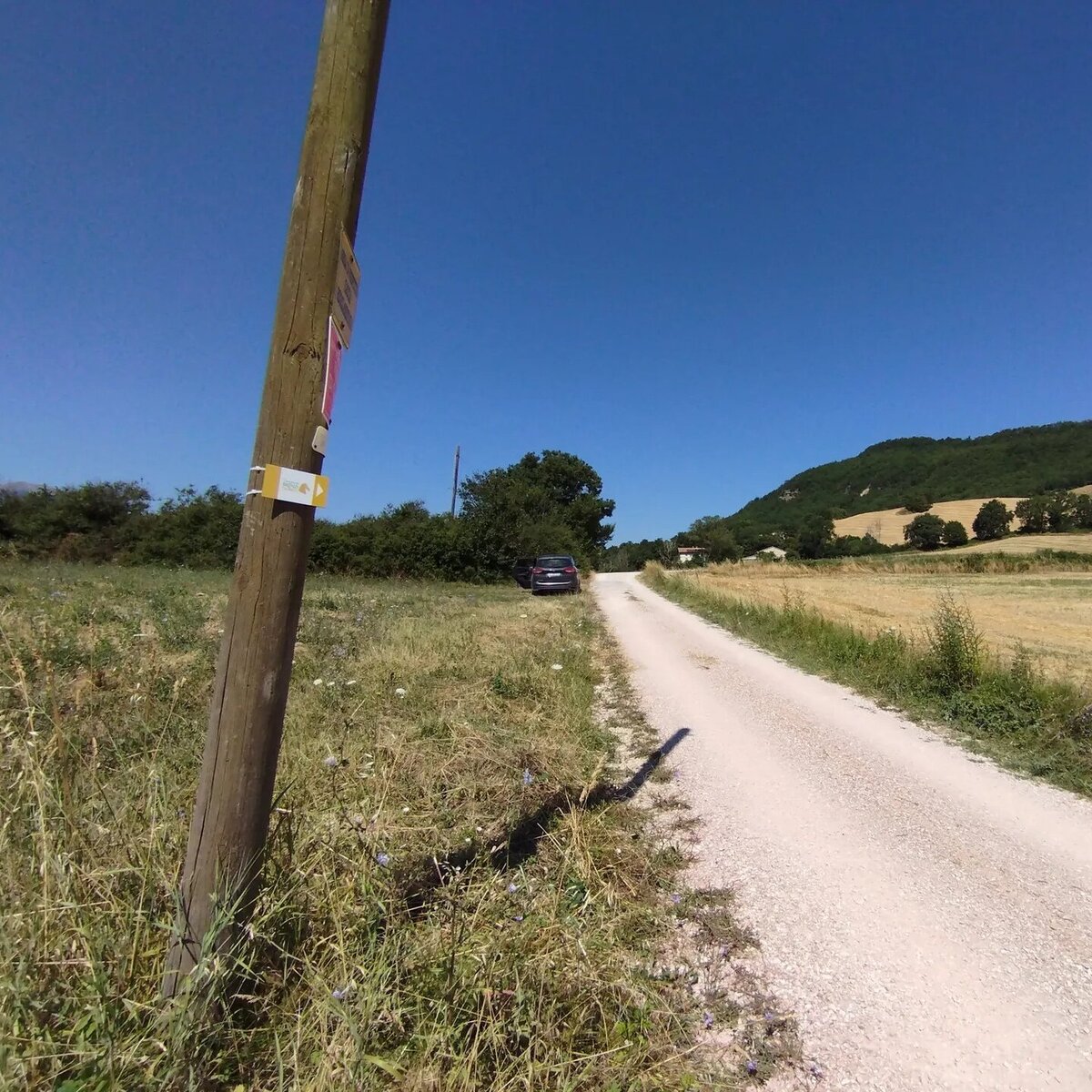
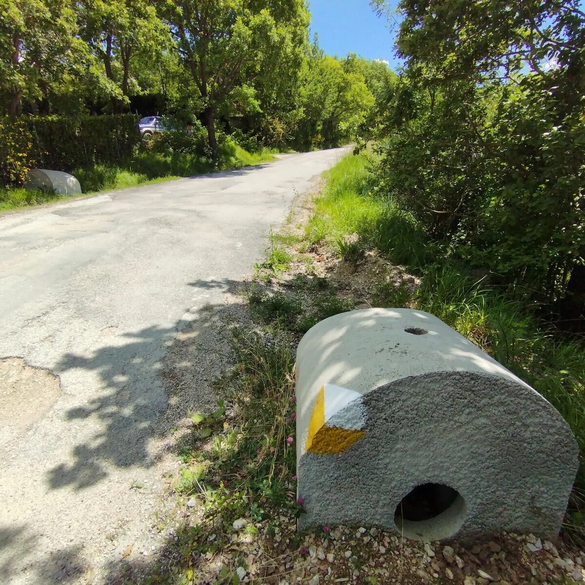
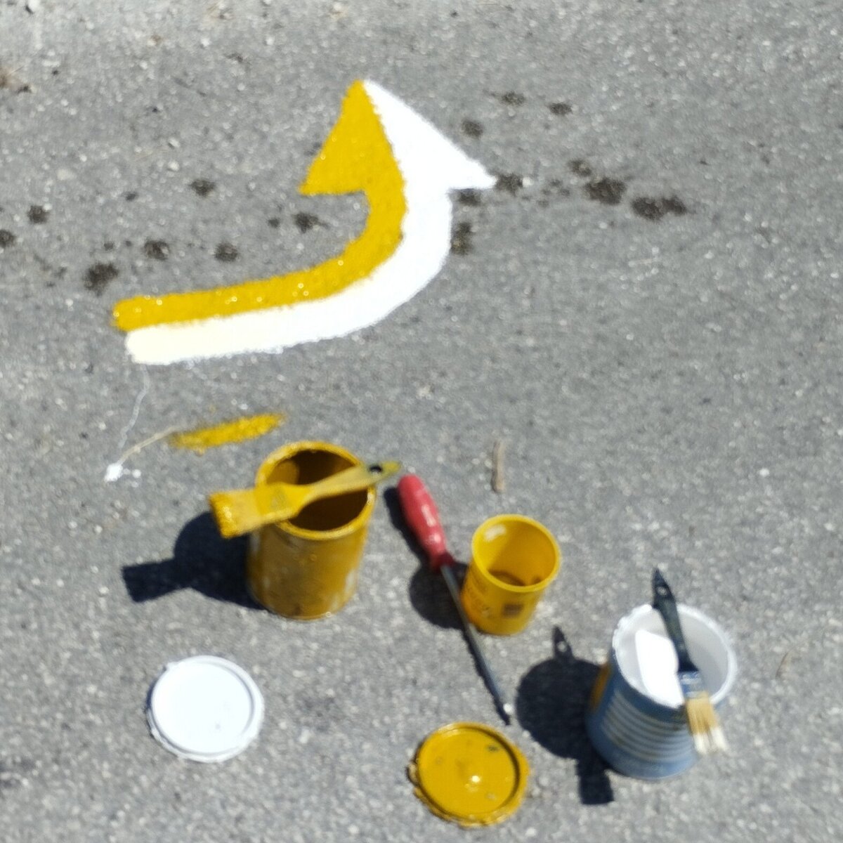
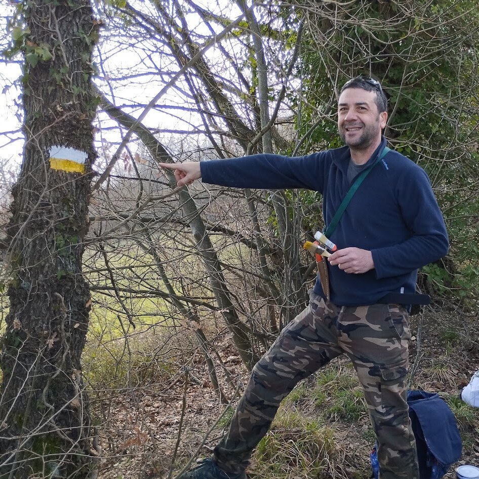
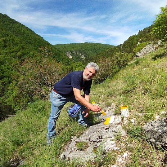
La segnaletica è gialla e bianca, composta da cartelli 8x15 cm, segni fatti con vernice su alberi, sassi e cemento, adesivi su pali e altri elementi stradali.
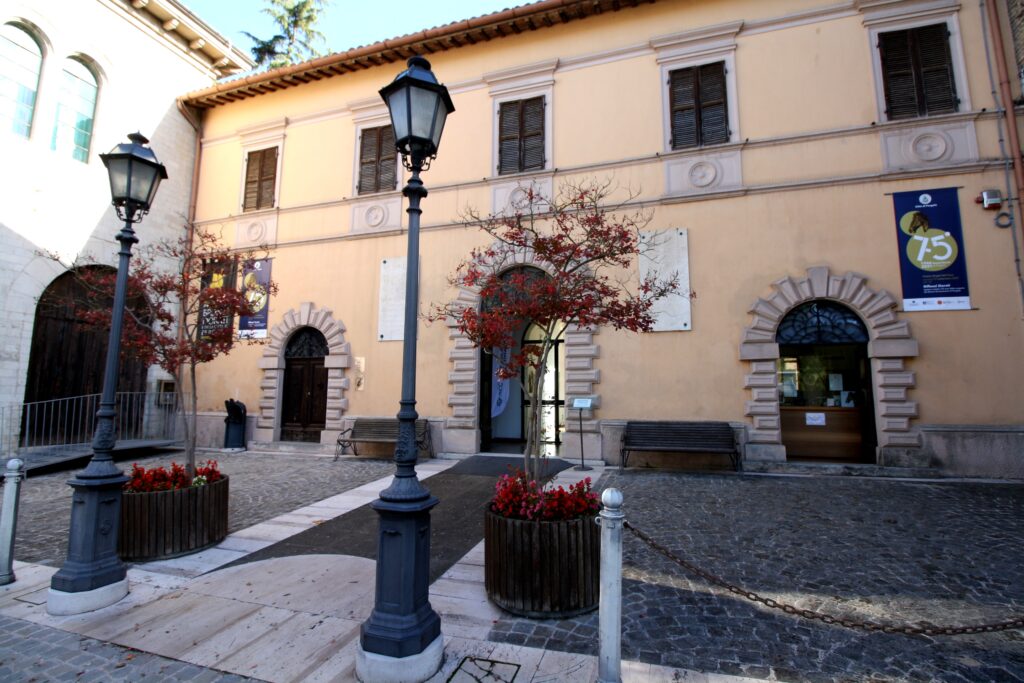
Museo dei Bronzi Dorati e delle Città di Pergola
È il punto di partenza e di arrivo del cammino.
Si trova in Largo San Giacomo - 61045 Pergola (PU).
Sito web: www.bronzidorati.it
Email: museo.bronzidorati@libero.it
Tel: 0721.734090
Orari: 10.00–12.30, 5.30–18.30. Lunedì chiuso.
Luglio e agosto: 10.00–12.30, 15.30–19.00. Tutti i giorni.
Costo biglietto intero 7€ (previste diverse riduzioni; vedere nel sito)
Durata visita 30/60 minuti.
Park
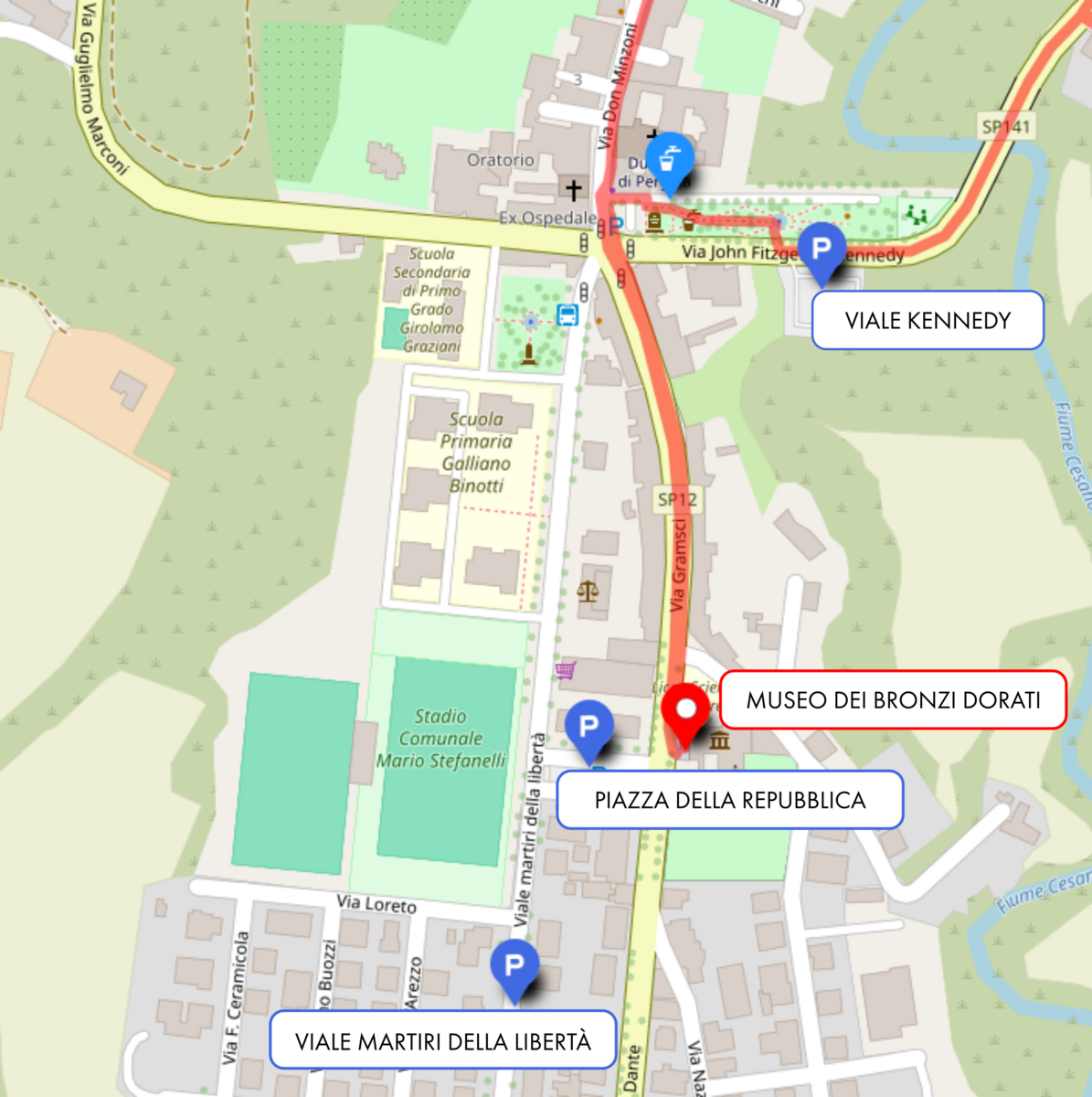
In front of the Museum of the Gilded Bronzes and the City of Pergola—the starting point of the trail—there is a large free parking lot in Piazza della Repubblica.
However, on rare occasions, the parking lot may be closed for local events (such as car rallies), the White Truffle Fair (the last three Sundays of October), the Cioccovisciola festival (early December), or for the weekly Saturday market.
Since the Municipality posts "No Parking" signs 48 hours before any event, we recommend not leaving your car there for 4 or 5 days unless you are absolutely certain (by checking with the local municipality office) that no events are scheduled for that period.
Even on the adjacent Viale Martiri della Libertà, where free parking is generally available, there may be occasional restrictions for leaf collection or due to the market being relocated during the two aforementioned festivals.
For total peace of mind, we recommend leaving your vehicle in the Viale Kennedy parking lot, located across from the public gardens and about 400m from the Museum. Since the trail passes right through these gardens, you could drive to the Museum first for your visit (about 45–60 minutes), then move your car to this parking lot and start your hike from there.
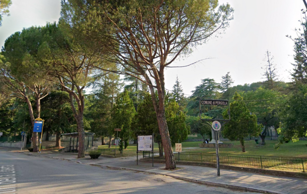
Autobus
La stazione degli autobus è in viale Martiri delle Libertà, davanti ai giandinetti delle scuole medie, a 150m dal Museo.
Orari autobus: www.adriabus.eu/orari/
Negozi
A 50m dal Museo c'è un supermercato, a 30m ci sono un bar, una pizzeria al taglio e un'edicola.
Il cammino inizia in direzione centro storico, dove troverete naturalmente altri esercizi commerciali.
Ospedale e farmacie
A Pergola c'è l'ospedale con il punto di primo intervento e tre farmacie: Comunale 0721.734675, Domenichelli 0721.778714, Farmacia del Corso: 0721778289.
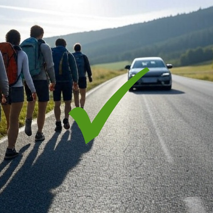

Walking along paved roads
Along the few paved sections, we recommend walking on the left side of the road, facing oncoming traffic. This allows you to see vehicles approaching you and react more effectively in case of danger.
Of course, common sense should prevail: if there is significantly more space to walk on the right side, it is better to stay to the right!
Shortcuts (or presumed shortcuts)
Looking at the map, you might be tempted to take a shortcut, perhaps due to fatigue or because you are running behind schedule. As a rule, don’t do it!
The route has been carefully researched, tested, and optimized to avoid paved or dangerous sections as much as possible, while ensuring you hit the best viewpoints and landmarks.
If you see shortcuts (or what may seem like them) on the map, keep in mind that:
- They could be more dangerous than the main trail (such as narrow paved roads with poor visibility).
- They might be less scenic.
- They could bypass sites of historical or natural interest.
- They might be harder and more exhausting, even if the map suggests otherwise!

Waste
As a rule, during your hikes, carry your trash back home! At the very least, you can dispose of it in the bins of the first village you encounter (recycling whenever possible).
In small hamlets where you might find small street bins, please avoid filling them with your waste. Keep your trash in your backpack until the end of your journey!
General rule: leave no trace!
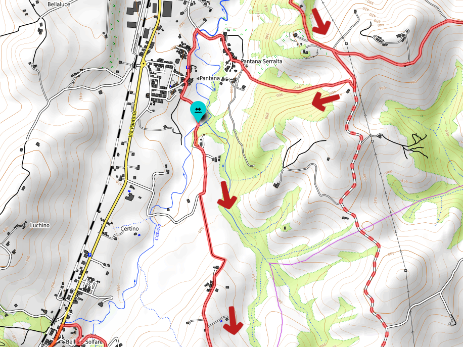
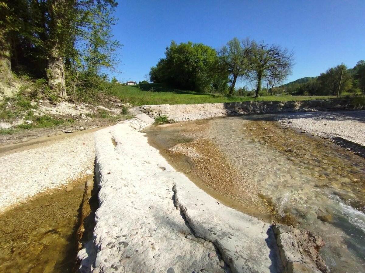
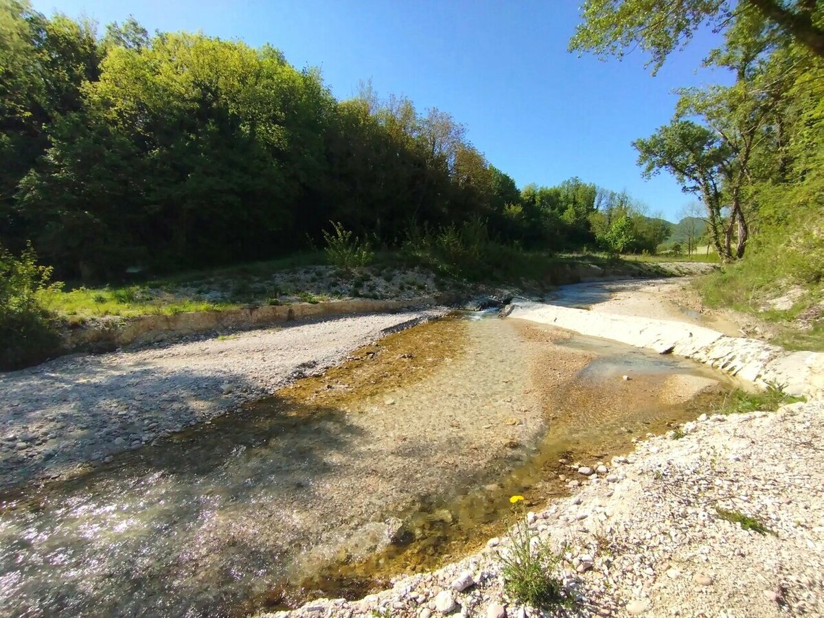
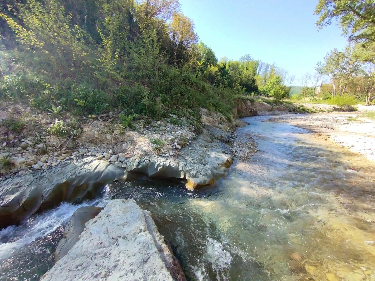
Fords (river crossing)
Along the trail, you will encounter only one ford (river crossing) after the hamlet of Pantana. For most of the year, it can be crossed without any problems, thanks to the width of the riverbed and the presence of a concrete weir (check dam) that spans across it.
It might be useful to carry a pair of rubber sandals in your backpack to cross during periods of higher water levels, or simply to walk in the river during a break!